.png)
.jpg)
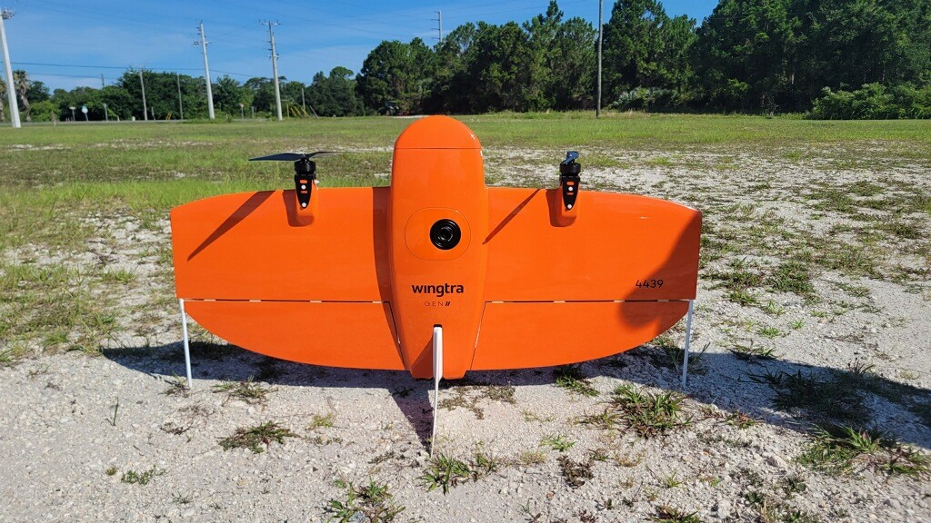
WingtraOne Drone
- The WingtraOne is the newest addition to our team's inventory of devices and is at our disposal to create high resolution geo-referenced aerials and highly accurate topography.
Contact us for your drone needs!
- The Wingtra drone is one of the only drones approved to fly on US military bases.
- WingtraOne is an easy-to-use drone that delivers consistent, high-quality survey data faster.
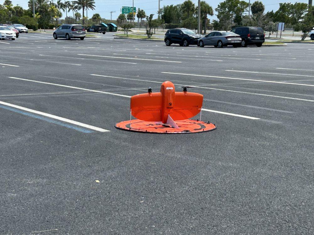
Vertical Take-off
The Wingtra WingtraOne is a tail-sitting vertical take-off and landing unmanned aerial vehicle developed in Switzerland by Wingtra AG. Powered by two electric motors, it is designed primarily for use in precision agriculture and surveying roles, or for light payload delivery to rural areas.
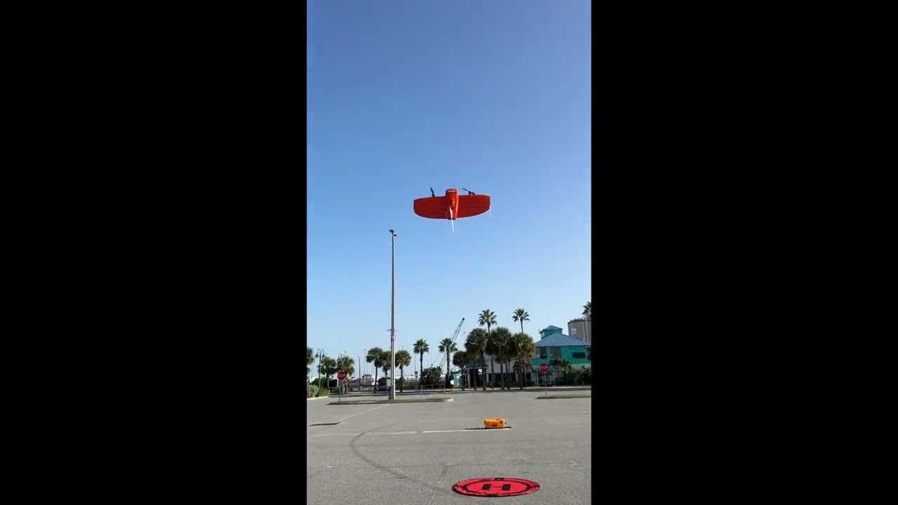
Port canaveral
This is a flight flown at Port Canaveral, Florida.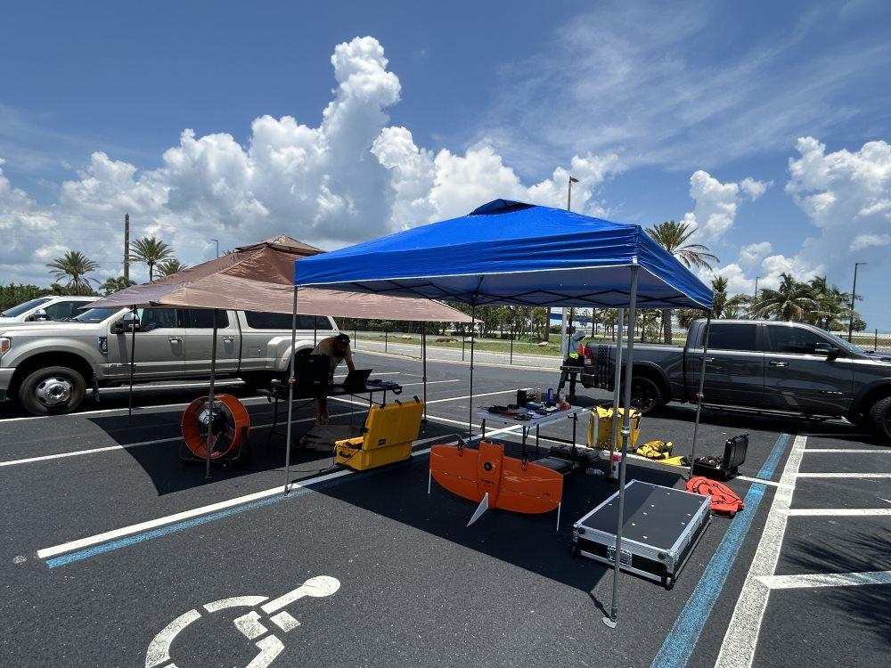
General Characteristics
· Capacity: 800 grams (1.8 lb) payload
· Wingspan: 1.25 m (4 ft 1 in)
· Empty weight: 3.6 kg (8 lb)
· Max takeoff weight: 4.4 kg (10 lb).jpg)
Possible Projects
Our drones can be used on large coastal projects for beach renourishment, military and state roadway projects.
High Resolution Aerial Data
WingtraOne collects high resolution aerial data which is used to generate orthophotos, 3D reconstructions, point cloud and NDVI maps; the drone is capable of covering 390 hectares (960 acres) at an altitude of 240 metres (790 ft) at 3 cm/ptrialed in the aerial surveying, agriculture and glacier monitoring roles as well as light payload delivery to rural areas.x GSD. It has been
.jpeg)
DJI Phantom 4 Pro
Land & Sea Surveying now has a DJI Phantom 4 Pro, bringing Land & Sea Surveying's imaging to new heights. Using aerial images and geo- referencing, Land & Sea Surveying is able to produce 3D images ergonomically. Land & Sea Surveying's new DJI Phantom 4 Pro's uprated camera shoots 4K/60fps at a bitrate of 100 Mbps and stills up to 20- megapixels, creating dramatically better images.

.jpg)


EQUIPMENT INDEX
.png)